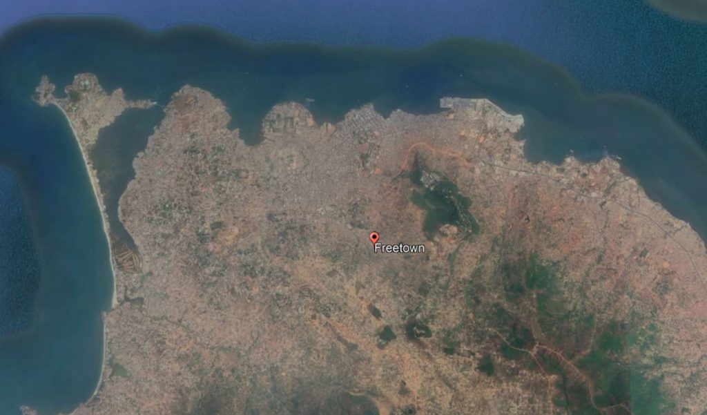
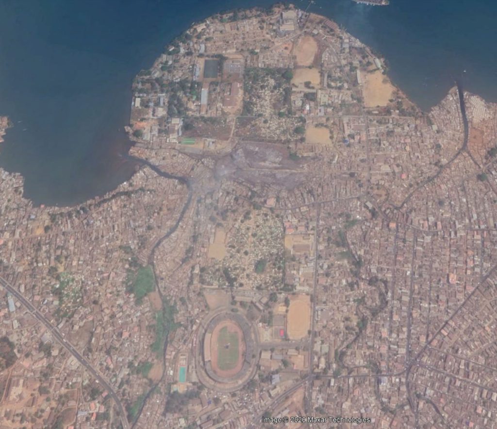
For this exercise I decided to re-make Freetown city’s plan. Freetown, the capital of Sierra Leone, is set on a hilly peninsula. For the latter part of its history the rugged, mountainous nature of site topography has largely been ignored in city planning. With the seasonal torrential rains and increasing deforestation, the mountains have become a liability to the citizens.
My plan for Freetown is based on a conceptual approach which uses multiple methods of topographical analysis to arrive at a city plan. Along each step, there are numerous variables and therefore there are many ‘Free’ towns that could be arrived at.
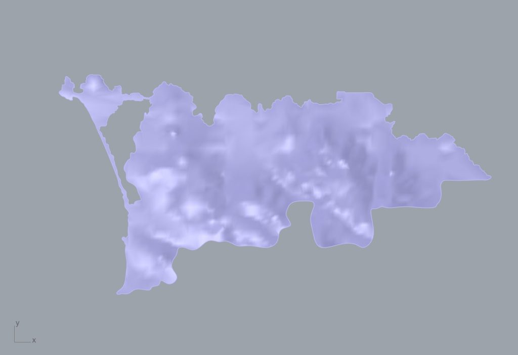
Step 1: Obtain topographical surface of city from Google
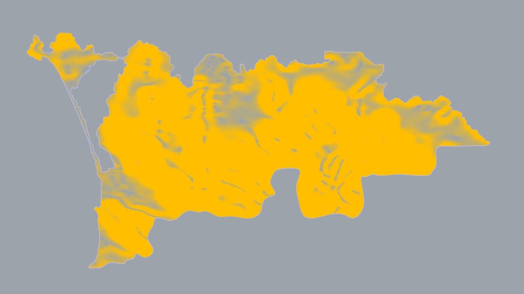
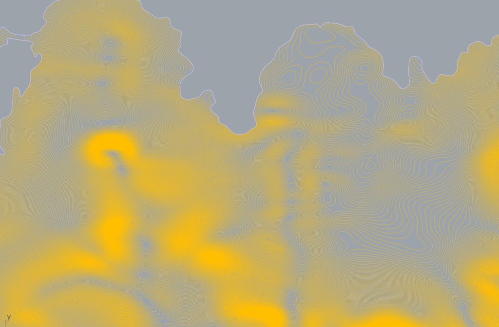
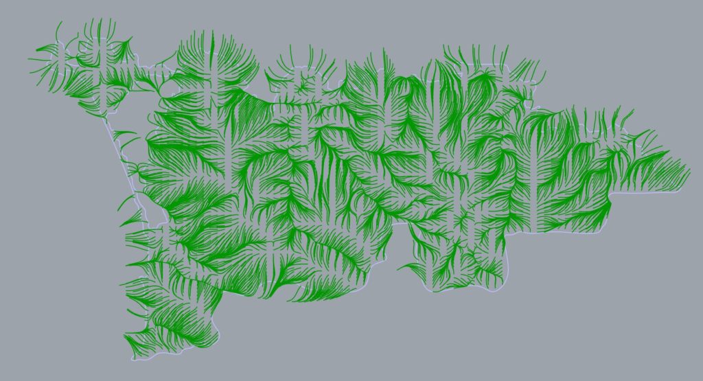
Step 2: Analyze the site and obtain closed and open curves which characterize the surface.
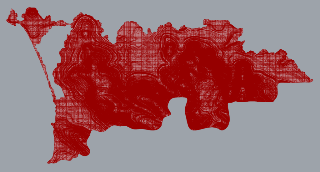
Step 2a: Extract Contour Lines (z-direction). Variables include: distance between contours.
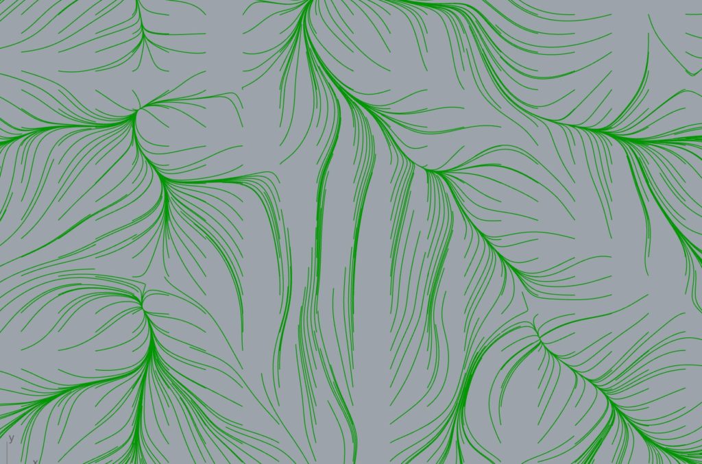
Step 2b: Extract Flow Lines (always perpendicular to contour lines at intersection). Variables include: number of flow lines, length of flow lie
Step 2c: Extract contour lines in the North-South and East-West directions
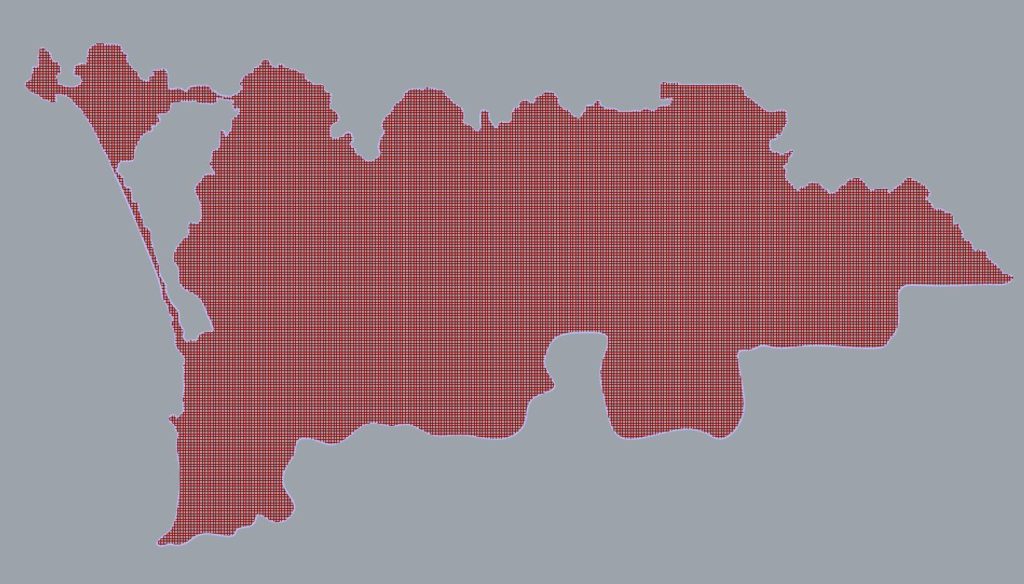
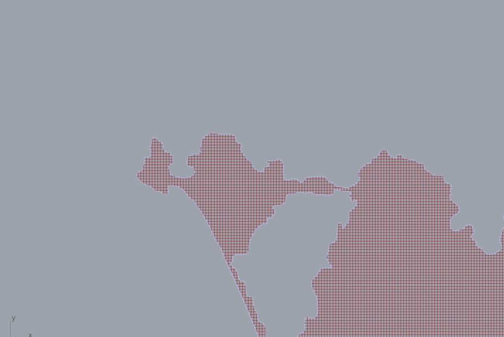
Step 3: Overlay the three sets of lines and project lines onto x-y plane.
Step 4: Determine the scale of the city. Reducing the density of the combined grids makes the blocks larger. A finer grid allows for both small blocks and large blocks (as smaller blocks can be combined).
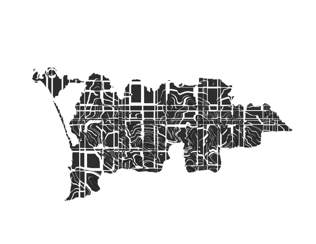
Step5: Remove all semblances to a grid. Although the grid is a framework it should not define the end result. All traces of the original grid in the final plan has to be faint. This is done by offsetting the individual surface fragments inwards and outwards. This staggers the units which had been neatly carved out a grid and new pathways result.
Step 6: Add character to the plan. At this point we can add character to the figure-ground relationship in multiple ways.
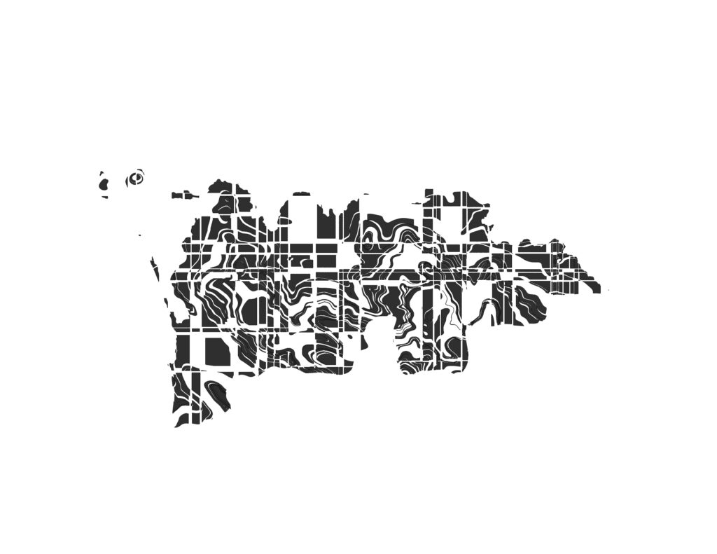
Step 6a: Sprawled city. Randomly reduce the surface fragments. This reduces the overall density and gives the image of less dense city. It doesn’t do much to add character to the plan though.
Step 6b: Paths. Paths are common fixtures in cities and they are threads that run through the city. From the system of grids, we obtain multiple random combinations of thorough lines through the city or of line fragments split at intersection points. Using the cull command in grasshopper, we can make these threads stand out by deleting objects of the city that fall within a certain distance range of these lines. By altering the range of these distances we adjust the thickness of the threads.
Step 6c: Squares and Open spaces. These are also necessary for any city and can be clearly discerned in figure-ground maps. Using the same approach we can the objects within a locality in the city using random shapes which define the location and size of the squares.
Step 6d: Monuments and Focal Points. In this case certain intersection points on the original grid are used as cull points. These points denoted through sharp changes in density at certain points on the figure-ground plan.


