(1) ”the idea that collage technique, by accomodating a whole range of axes mundi […] might be a means of permitting us the enjoyment of utopian poetics without our being obliged to suffer the embarrassment of utopian politics”(p.149).
(2) ”Disparate objects held together by various means, ‘physical, optical, psychological”(p.140).
(3) ”because collage is a method deriving its virtue from its irony, because it seems to be a technique for using things and simultaneously disbelieving in them, it is a strategy which can allow utopia to be dealt with as image, to be dealt with in fragments, without our having to accept it in toto”(p.149).
Axis Mundi is the Latin term for the axis of the earth. This axis passes through the north and south poles and extends on both sides to reach the celestial poles. It is a static orientation which does not change at all with the earth’s revolution. In the context of collage city, I understand this term as referring to a rigid layout that relates a static directionality in the city. The implied orientation is independent of time or location within the city. A paragon of an axis Mundi in the city is a thorough rectilinear grid that permeates through all localities within the city and takes heed of little variables.
The idea of the grid in a city comes up in the high modernist’s quest for utopia. The grid is timeless and is not context-sensitive. The grid is a motif in the international style. Alternatives to the grid can be derived using a context-sensitive approach — for instance, one which takes into account the topography of the site. By following this approach, we can view the site as an Axis Mundi. A site’s topographical form has many properties that allow for orientation in a manner parallel to the grid.
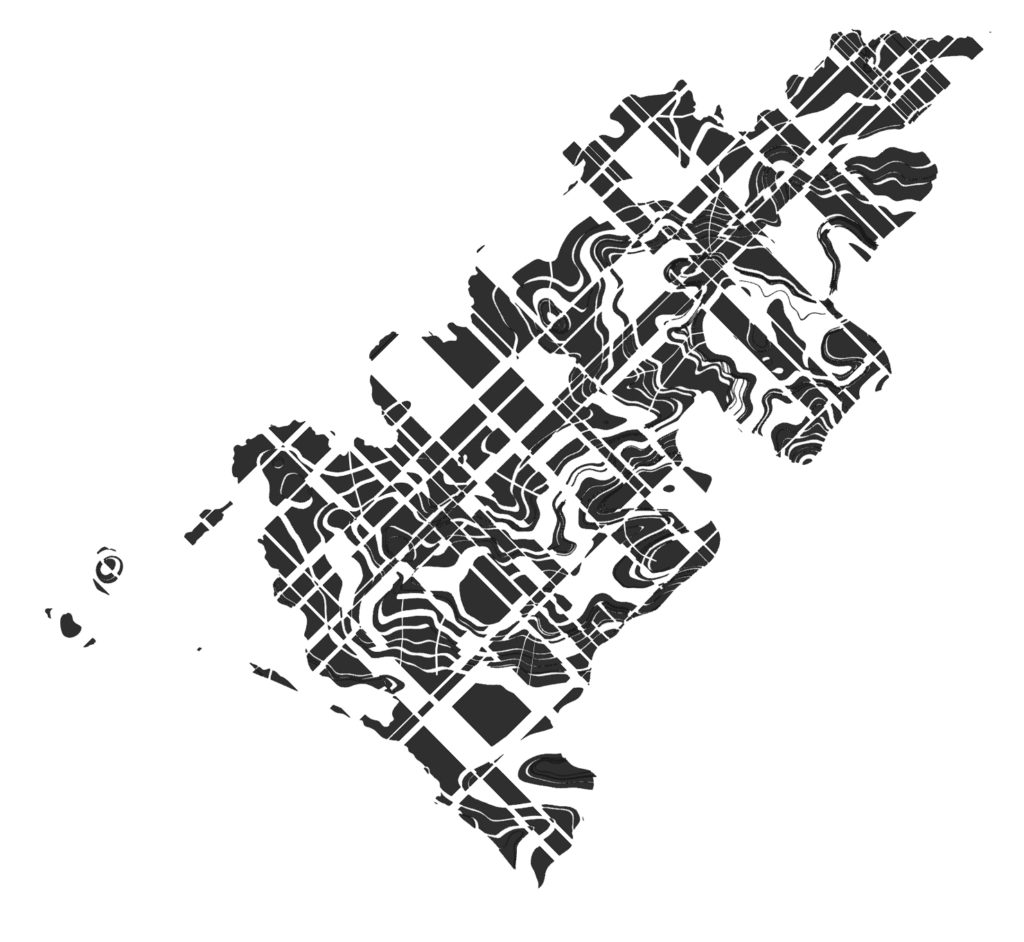
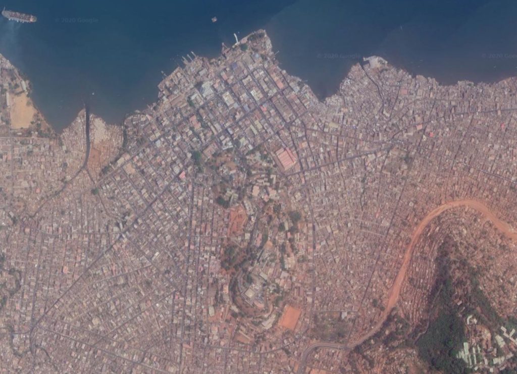
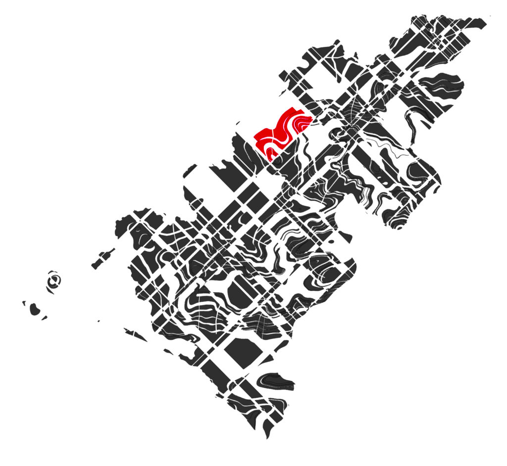
I have based my study on Freetown. Downtown Freetown has developed from the city’s responses to various axes mundis. It is also part of the city consisting of various disparate parts.
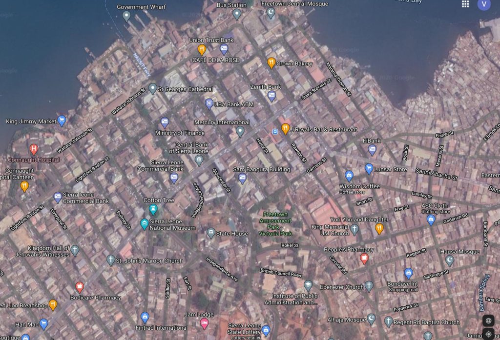
Firstly the city’s financial district (center of the top half of the image) and the local wharf are oriented on a grid with the orthogonal lines parallel and perpendicular to the coast. This is one of the oldest parts of the city originally founded by freedmen who had returned from the west.
Secondly, the country’s State House, (President’s Office) is also located in this part of the city (just above the center of the image). The grid of the financial district however does not extend to this part of the city. Here the layout is responding to encroaching hills. Finally, in this same part of the city are the seaside slums that have been defined over time by the flow lines of the site’s terrain uncatered for by the city’s poor drainage systems.
Hence I can Characterize Freetown as a city of ”disparate objects held together by various means”.
In the end, the shapes of the city’s blocks that result from these combinations are formed in multiple ways:
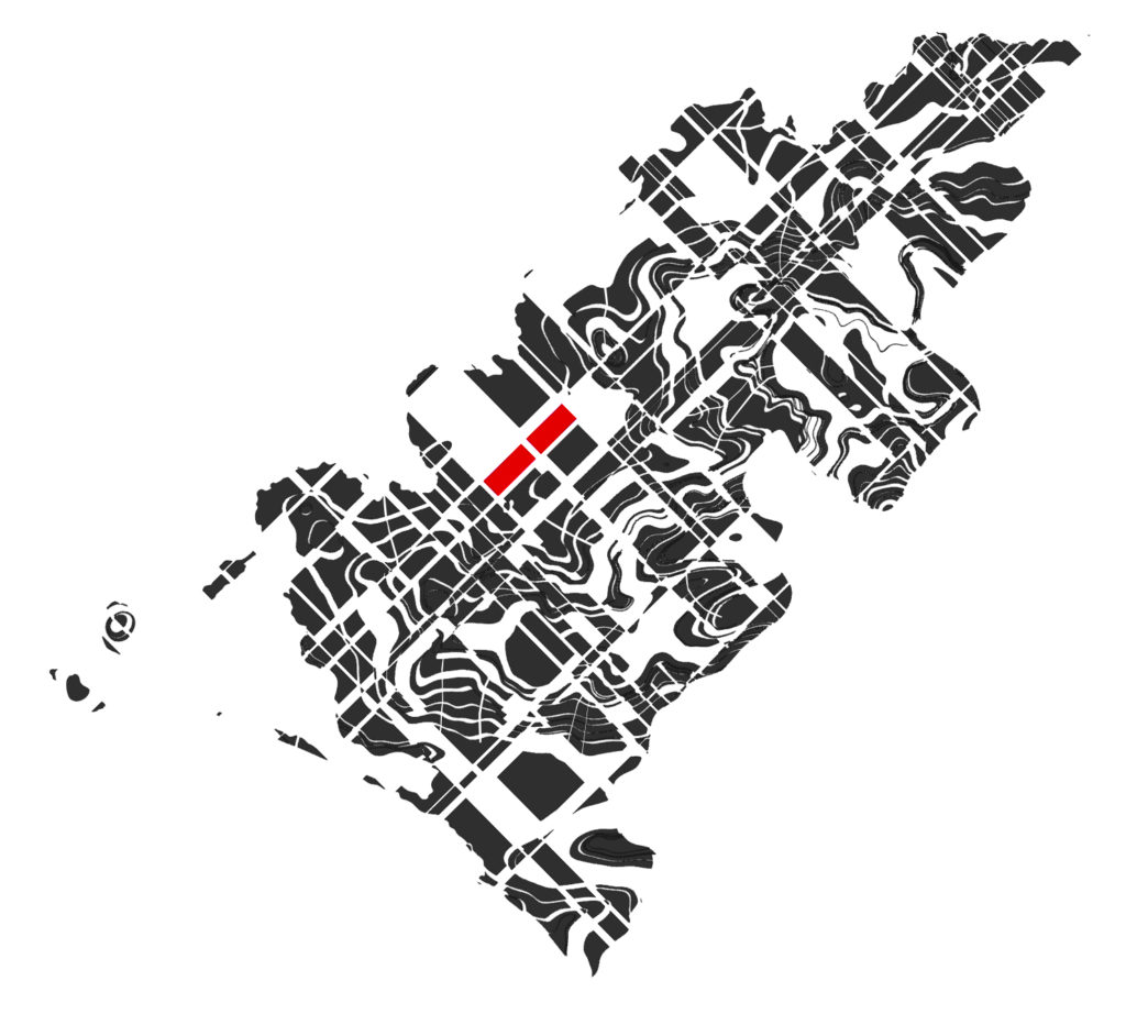
1. Blocks that are formed wholly from seemingly rectilinear lines
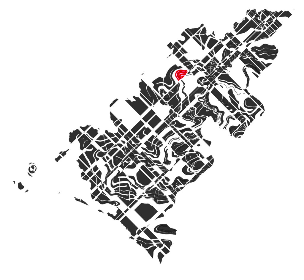
2. Blocks that are formed wholly from curvilinear lines
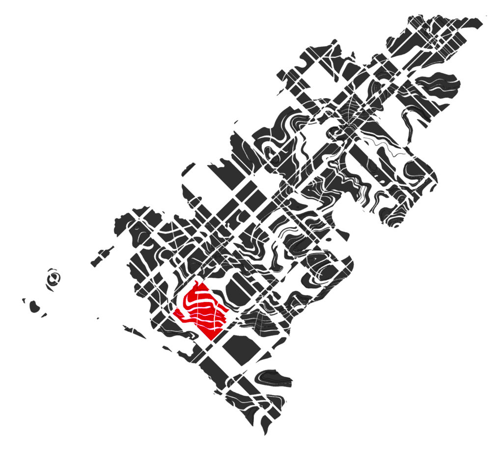
3. Blocks that are formed from a combination of these two at intersection points of the two axes Mundi.
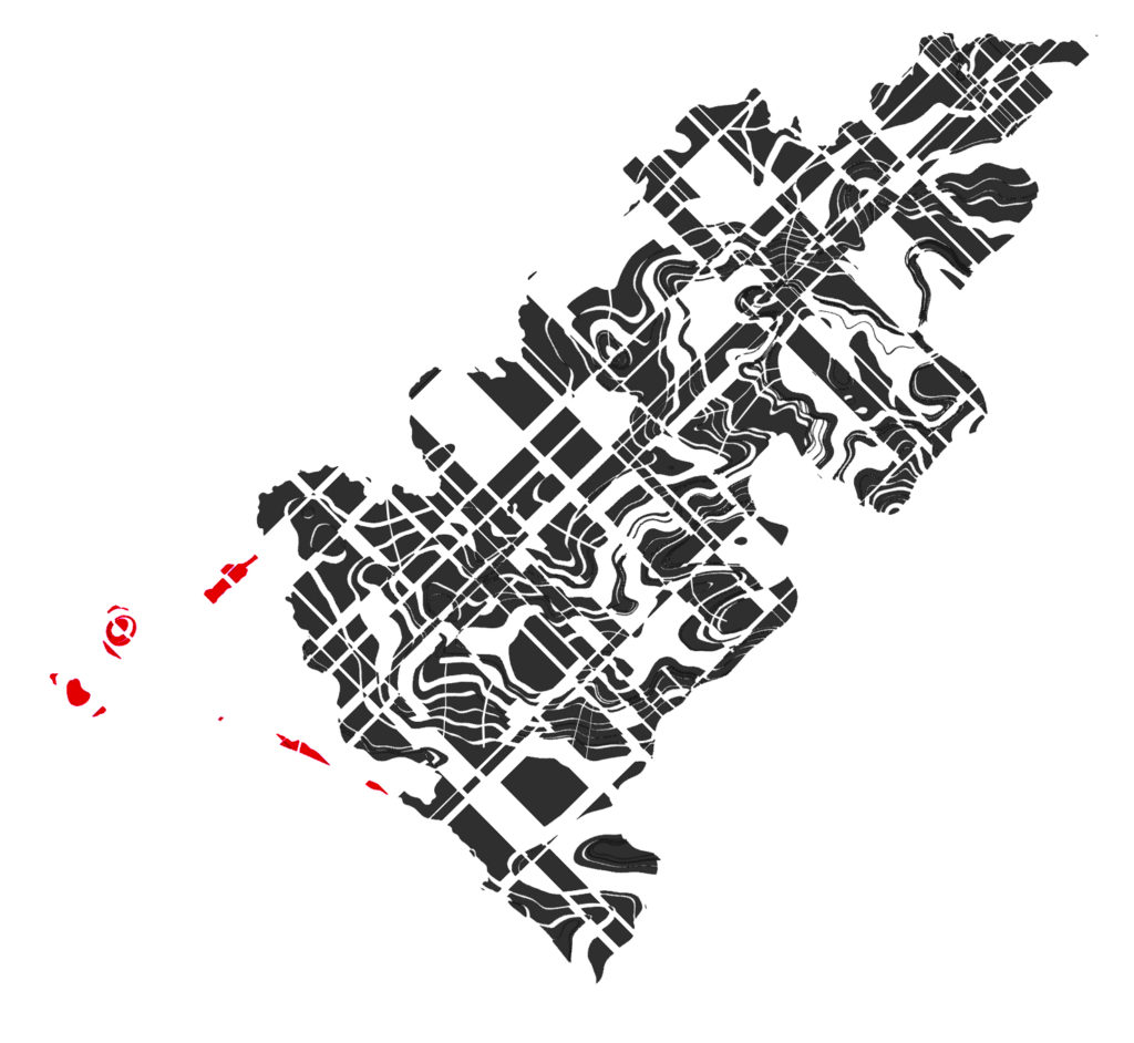
- Archipelago
2. Isolation
3. Striation
4. Telescope
5. Repetition
6. Reflection


